
Features
TWO-SIDED MAP: One side features an attractive, political map of the United States in lively, pastel colors while the flip side reveals an equally attractive world map, providing accessible and functional use.
UNITED STATES MAP: The United states map shows the clearly delineated fifty states (with Hawaii and Alaska as inserts), major cities, time zones and all state capitals marked in red stars.
WORLD MAP: The world map presents nations of the world with an abundance of clear, concise and current geographical information. The Europe-inserted map provides a zoomed in map of Europe with a larger scale to clearly show this congested part of the world.
MULTIPLE USES: The maps are an excellent reference source for home, office, and classroom uses. Students in all grades, teachers, and general adults could all benefit from the concise and clear presentation of US and World geographies.
DURABLE THICK LAMINATION: The 5-mil double sided lamination provides protection and durability.
DIMENSIONS: The exact dimensions are: 12-3/4" x 17-3/4".
MADE in USA: The designs, printing, and lamination are all done in the United States by American Geographics.
Description
This laminated double-sided desk reference map features two maps in one. One side features an attractive, political map of the United States in lively, pastel colors while the flip side reveals an equally attractive current world map. The United States map shows major cities, time zones and all of the fifty state capitals are highlighted in red. The world map presents the nations of the world with an abundance of clear, concise and current geographical information.
Details
Enhance your geographic knowledge with the US and World Desk Map by Lighthouse Geographics. This laminated map is perfect for students, home, or classroom use. Its two-sided design offers versatility and ensures easy access to vital information.
On one side, you'll find a beautifully designed, politically colored map of the United States. Each of the fifty states, along with major cities, time zones, and state capitals, is clearly marked with red stars. Even Hawaii and Alaska are given special inserts to ensure no detail is missed.
Flip the map over, and you'll discover an equally stunning world map. This side presents current and concise geographical information for nations across the globe. Plus, Europe's intricacies are emphasized with a zoomed-in map, allowing you to explore its congested regions with ease.
No matter if you're a student, a teacher, or simply someone who appreciates a well-crafted map, this product has multiple uses. It's an excellent reference source for various settings, including the home, office, and classroom. Its clear presentation ensures that everyone can benefit from its wealth of information.
Not only is this map highly informative, but it is also built to last. The durable 5-mil double-sided lamination offers protection against wear and tear, making it ideal for everyday use. With dimensions of 12-3/4" x 17-3/4", it's compact enough to fit in any space.
When you purchase this US and World Desk Map, you are supporting American Geographics. Every step, from design to printing to lamination, is carefully executed in the United States. You can trust in the quality and accuracy of this map.
Expand your knowledge, upgrade your workspace, or enrich your classroom with the US and World Desk Map. Click here to get yours today!
Discover More Best Sellers in Geography Materials
Shop Geography Materials
Rand McNally Easy to Read: Alaska State Map
 Geography Materials - Rand McNally Easy to Read: Alaska State Map

Swiftmaps 32" x 50" RMC Large World Wall Map Poster - Laminated Rolled (32x50 Signature World)
Geography Materials - Swiftmaps 32" x 50" RMC Large World Wall Map Poster - Laminated Rolled (32x50 Signature World)

 Geography Materials - Riley Creative Solutions Middle East CIA Map | Iraq Iran Israel Political 2003 Wall Art Poster (2 Sizes) (11"x13")
 Geography Materials - SMART WALLABY 9" Illuminated Educational Kids World Globe + STEM Flags & Countries Interactive Card Game. 3 in 1 Children Desktop Spinning Earth Political & Constellation Maps, LED Night Light Lamp
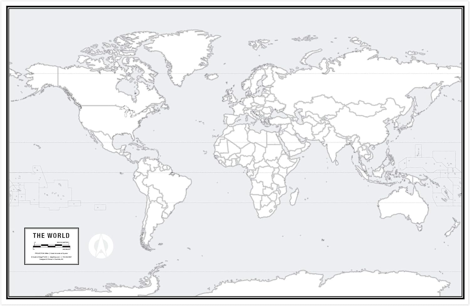
 Geography Materials - Large Blank World Outline Map Poster, Laminated, 36” x 24” | Great Blank Wall Map for Classroom or Home Study | Free Dry Erase Marker Included | Includes Detailed Laminated Answer Sheet | Learn Fast!
 Geography Materials - Epic Adventure Maps The United States Push Pin Map 24" x 17" - Unframed Travel Map to Mark Your Travels Around The USA - Multicolored Pushpins Included
 Geography Materials - Replogle Student - Educational Classic World globe, Blue Ocean, Raised Relief feature, including a bonus map, made in USA, 12"/30cm diameter
 Geography Materials - Palace Learning Blank USA Map Outline Poster LAMINATED - 18" x 29" (For Use With Wet Erase Markers Only)

![Geography Materials - 2 Pack - Laminated World Map & US Map Poster Set - Wall Chart Map of the World & United States - Made in the USA [Black]](https://images-na.ssl-images-amazon.com/images/I/A1RZPj-J+RL._AC_SL1500_.jpg)