

Features
Details
Are you looking for a comprehensive and detailed map of Kentucky? Look no further! Our Kentucky State Wall Map is the perfect solution for all your mapping needs. Measuring 20.75" x 18.5" and laminated for durability, this map is not only easy to read but also packed with valuable information. With major thoroughfares, secondary roads, landmarks, and more clearly identified, navigating Kentucky has never been easier.
Experience Kentucky like never before with our state map that includes shaded relief for a stunning three-dimensional perspective of the state's topography. Whether you're planning a road trip or exploring the natural beauty of Kentucky, our map will guide you every step of the way. Detailed city inset maps of Bowling Green, Frankfort, Lexington, Louisville, and Owensboro provide the latest street information to ensure you never get lost in urban areas.
Don't miss out on crucial tourist information with our up-to-date insets of Mammoth Cave National Park and Land Between the Lakes National Recreation Area. With our map, you'll have all the essential details at your fingertips to make the most of your visit to these iconic destinations. The county and city indices included on the map make locating even the smallest town a breeze.
Trust Globe Turner, one of the leading producers of map products in the USA, to deliver a high-quality and accurate state map of Kentucky that meets all your mapping needs. Enhance your travel experience, plan your adventures, and explore Kentucky with confidence using our meticulously crafted map. Order your Kentucky State Wall Map today and start your journey towards seamless navigation and discovery.
Discover More Best Sellers in Geography Materials
Shop Geography Materials
 Geography Materials - StreetSmart® NYC Map Midtown Edition by VanDam-Laminated pocket city street map of Manhattan w/ all attractions, museums, sights, hotels, Broadway ... – Folded Map, 2026 Edition

Replogle Globes Traveler Globe, 12-Inch, Blue
Geography Materials - Replogle Globes Traveler Globe, 12-Inch, Blue
 Geography Materials - Waypoint Geographic Light Up Globe - Como 12” Desk Decorative Illuminated Antique Ocean Style with Stand, Up to Date World Globe

 Geography Materials - Classic United States USA and World Desk Map, 2-Sided Print, 2-Sided Sealed Lamination, Small Poster Size 11.5 x 17.5 inches (1 Desk Map)
 Geography Materials - Riley Creative Solutions Middle East CIA Map | Iraq Iran Israel Political 2003 Wall Art Poster (2 Sizes) (11"x13")

Wake County, North Carolina - 48" x 36" Laminated Wall Map
 Geography Materials - Wake County, North Carolina - 48" x 36" Laminated Wall Map
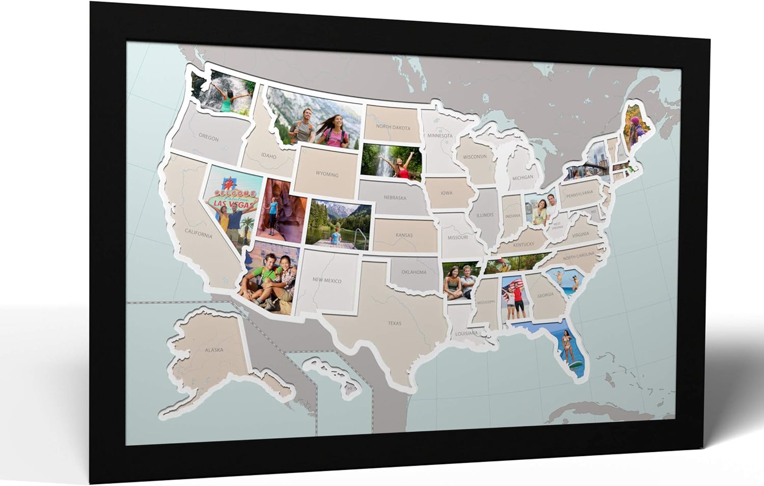
50 States USA Photo Map - Frame Optional - Made in America (Printed Map, Black Frame)
Geography Materials - 50 States USA Photo Map - Frame Optional - Made in America (Printed Map, Black Frame)
![Geography Materials - 2 Pack - World & USA Map for Kids [Illustrated] - 2 Poster Set (LAMINATED, 18](https://m.media-amazon.com/images/I/614O1mIb20L._SL500_.jpg._AC_SL1500_.jpg)
2 Pack - World & USA Map for Kids [Illustrated] - 2 Poster Set (LAMINATED, 18" x 29")
Geography Materials - 2 Pack - World & USA Map for Kids [Illustrated] - 2 Poster Set (LAMINATED, 18" x 29")
 Geography Materials - Henoyso 12 Pcs World Globe for Kids Learning 3.4 Inches Mini Rotating World Map Globe with Stand for Kids Educational Desk Classroom Decorative for Geography Table Decor, Blue
